|
|||||||||||||||||||||||||||||
| NEARMAPS | |||||||||||||||||||||||||||||
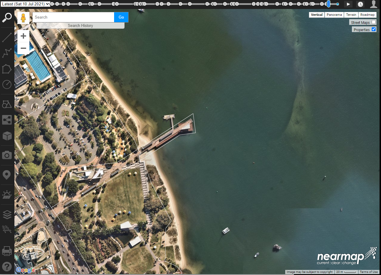
| Mapping
Interface • Share high-resolution aerial imagery and geospatial data via online application • Create annotated aerial virtual site visits with measurement tools and overlay data • Explore historical captures to analyse patterns over time • Integrate aerial images into GIS and CAD platforms |
|||||||||||||||||||||||||||||
| Recommended for | Licence | Complexity | Integrated in Canvas | ||||||||||||||||||||||||||
| Delivery | University Licence | Low | - | ||||||||||||||||||||||||||
|
|||||||||||||||||||||||||||||

|
|||||||||||||||||||||||||||||
| NEARMAPS WEBSITE | |||||||||||||||||||||||||||||
| Support requests: contact | Learning Environments | ||||||||||||||||||||||||||||